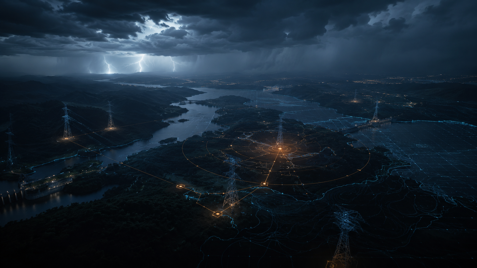
Energy disruption
Vegetation, lightning, wind and corridor encroachment can create cascading operational risk.
Made in Brazil · Built for global critical infrastructure
Siderix Vision combines satellite imagery, Earth observation with ultra-short-term weather nowcasting to generate predictive risk alerts up to 2 hours before impact — without field sensors or IoT hardware.
Transmission lines, hydropower assets, dams, highways, railways, pipelines and solar parks face weather-driven operational risk across remote territories.
Traditional inspections, periodic imagery and IoT deployments are expensive, slow to scale and often detect change after the business impact has already started.
Vegetation, lightning, wind and corridor encroachment can create cascading operational risk.
Acute rainfall, erosion and reservoir dynamics require near-real-time context across wide areas.
Long linear assets need surveillance that scales by kilometer, not by physical device.
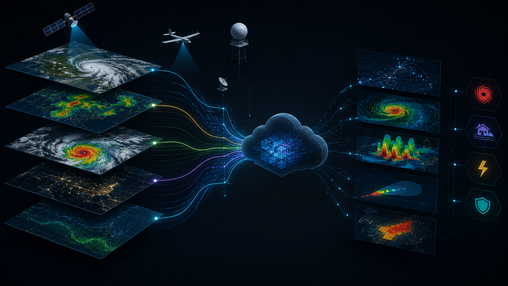
Siderix Vision fuses optical satellite imagery, GOES-16 nowcasting, radar feeds and computer vision into a single alerting layer for infrastructure owners and operators.
Satellite imagery, radar and nowcasting data are ingested into the cloud pipeline.
Terrain, vegetation, weather and asset geometry are combined into a unified risk model.
Risk windows are detected up to two hours before weather-driven impact.
Operators receive alerts, dashboards and decision-support reports.
Designed to sell as SaaS tiers or as modular pilots for infrastructure operators.
Predictive monitoring for hydropower plants, mining dams, highways and watersheds.
NDVI dynamics crossed with short-term weather risk for transmission lines, railways and pipelines.
Rights-of-way, borders, solar parks, carbon/ESG monitoring and corridor encroachment detection.
Commercial model built for enterprise pilots, expansion by asset class and multi-country scale.

Tell us what asset class you operate and what geography you need to monitor. We will respond with the most suitable pilot format.